


NOTAM: When Lockheed Martin "updated" the terrain for P3D V5, there were many changes that altered the BWEP Airports we had placed outside the ORBX SAK area. Thanks to Thomas Menzel, one of our team members that is an expert with ADE, we have been able to recover those airports for usage with P3D V5. In the BWEP Airports section below, there are now two files, one for NON V5 users and one for people who have updated to P3D V5. |
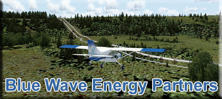
| Welcome to the RTMM Blue Wave Energy Partners (BWEP) | |
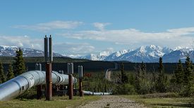
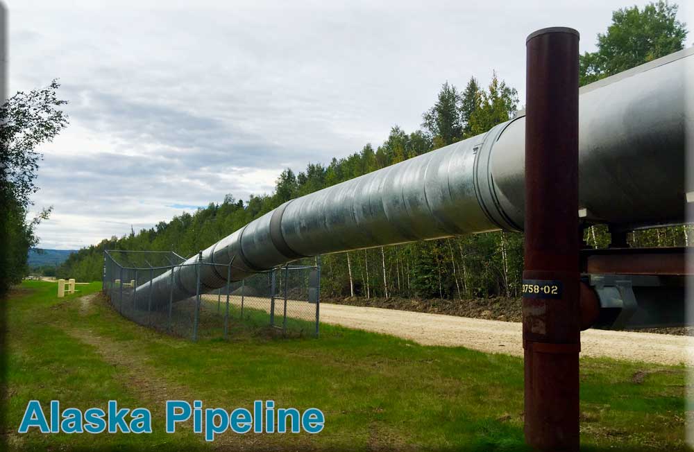
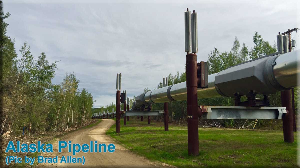
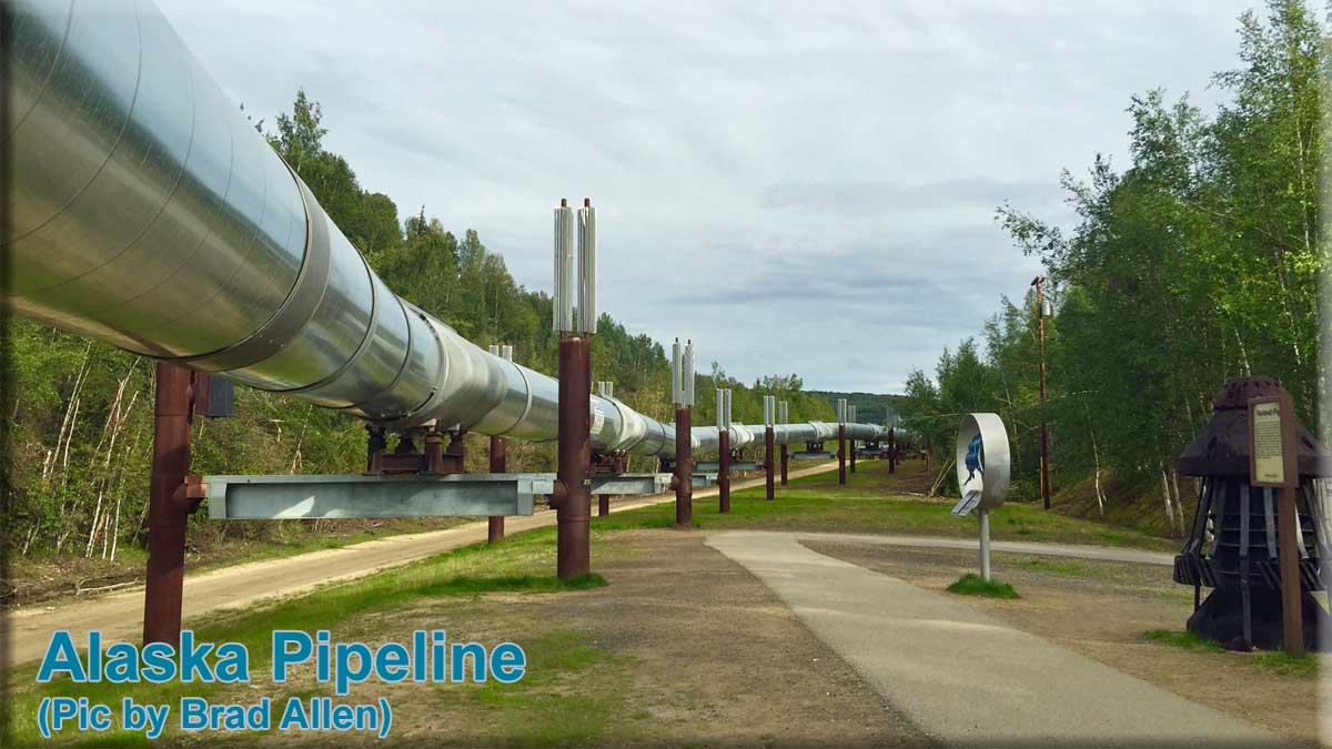
INTRODUCTION The BWEP pipeline  The RTMM "Blue Wave Energy Partners" [BWEP] pipeline project is the brainchild of Brad Allen, co-founder of RTMM. It attempts as much as the resources available to RTMM allowed, to replicate electronically a ‘virtual’ crude oil delivery platform similar to the Trans-Alaska Pipeline System [TAPS]. The BWEP project hopes to show pilots the incredible landscape of the ‘Last Frontier’ through flying ‘alongside’ the 800 miles of the BWEP pipeline. The RTMM "Blue Wave Energy Partners" [BWEP] pipeline project is the brainchild of Brad Allen, co-founder of RTMM. It attempts as much as the resources available to RTMM allowed, to replicate electronically a ‘virtual’ crude oil delivery platform similar to the Trans-Alaska Pipeline System [TAPS]. The BWEP project hopes to show pilots the incredible landscape of the ‘Last Frontier’ through flying ‘alongside’ the 800 miles of the BWEP pipeline.
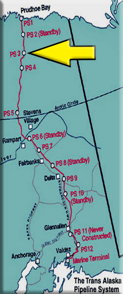
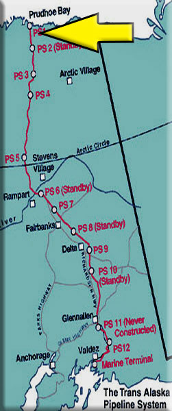
It must be recognized that the RTMM BWEP project is only a ‘fictional’ creation based on the engineering marvel that TAPS is. It only generally follows the same course of the real pipeline. The BWEP pipeline is a unique pipeline that takes its inspiration from the real world. As a result, RTMM felt free to take liberties with the BWEP pipeline route, layout, creation and placement of objects to make the BWEP project work in the flight simulators used by RTMM aviators, i.e., Microsoft’s Flight Simulator X and Lockheed Martin’s Prepar3D. To complement the pipeline scenery, RTMM has added or enhanced in total 26 airports, created many specific objects and developed various scenery locations along the way to enhance the magnificent ORBX scenery and to help ‘immerse’ the pilot as they fly the Pipeline. Pilots will also notice many pumping stations along the way, the real pipeline has 11 - pump 11 was never built. The stations maintain the momentum of the flow and are shown as ‘PS 1’, ‘PS 2’ etc., in the maps in the ‘Segments’sections. They are placed in locations similar to the real pumping stations. In addition, there are many flight plans to get the pilot ‘From Here To There’. Much time has been expended and incredible levels of designing skill exercised by many members of the RTMM Team in making this project a reality and BWEP is proudly offered for the enjoyment of all the virtual bush pilots out there. Flying the BWEP pipeline is an educational experience on many levels. RTMM pilots will be struck by the vastness and remoteness of the Alaska landscape and the huge areas of flat land as far as their eyes can see. Imagine what it would be like to live and work for years in this cold, bleak, barren and foreboding wilderness with no towns within hundreds of miles, no internet, no radio, TV, cinema, casinos and other modern amenities. One sees the same old and cold faces and places day after day. Each worker just longing for that day when the Pipeline is complete so they can pack up, leave the cold and desolation, say their farewells and go home. If modern electrical wonders are set aside, the living conditions today in these remote worksites would be comparable to those of the gold rush pioneers of over a century ago. The Trans-Alaska Pipeline [TAPS] Here are some reasons why Brad was so inspired to develop BWEP: The Pipeline runs 800mi/1287km north to south from Prudhoe Bay to Valdez; 420mi is supported above the ground on 78,000 refrigerated vertical support members, 380 mi is buried and the pipe diameter is 48in/1.22m. Taking 3 years and 2 months to complete, it was the largest privately funded construction effort of its time at approx. $8 billion and was one of the first large scale projects to deal with the problems of permafrost. TAPS travels over three mountain ranges – the Brooks, Alaska and Chugach Ranges - 800 rivers and streams and three major earthquake faults. Its distinctive ‘zig zags’ help it ‘flex’ during earthquakes. It takes a barrel of oil about two weeks to travel the Pipeline and the flow can be stopped in 4 minutes. TAPS reached a peak throughput of about 2.1 million barrels on 14 Jan 1988. Since then, throughput declined and averaged less than 560,000 barrels per day in 2013 and even less up to 2016, not good news because the best way to overcome a lot of the operational problems is to have more oil flowing through the Pipeline. The good news is that in the last 3 years throughput has been increasing but despite this, the Pipeline in 2019 operates at only 30% of its capacity. Consequently, only 4 of the 11 pumping stations are required to be operational. The pipeline has moved more than 17 billion barrels of oil since it was built. It is owned and operated by the Alyeska Pipeline Service Company that has an obligation that when there is no further use of the Pipeline it is to be removed and the land restored to what it once was. There is much more information about TAPS on the internet for the user who desires to know more. REQUIRED SCENERY AND KNOWN ISSUES:
NOTAM: If breaks in the pipeline are seen, try disabling any third party freeware or payware mesh for the North America region. It does work with Pilots 2010 mesh. Users can discuss the BWEP project on the RTMM Forum by clicking the button below: |
|
| Back to Top | |
| BWEP Downloads | |
 |
BWEP Object Library - by Steve Weinkamer (Latest build - 05.30.2017) BWEP has its own special library of objects designed just for BWEP. You will need to download and install the BWEP Object Library. This file is added like any RTMM Scenery file. You should place it where you place your other libraries, then "activate" it in your sim.
|
 |
BWEP AI Traffic - by Dex Thomas - (Refreshed 08.04.2019) NOTAM: The AI Traffic is now "automatically" included in the BWEP Airports for NonV5. (It does not work for P3D V5) Dex Thomas has added AI Traffic to the listed BWEP airports. There have been two airports (PAPR and SAG) that have been modified since this original file was released. These files are included in the BWEP Airports for NonV5. There is also a file for Fairbanks AI Floats. You will find this package on the Scenery Page. |
 |
BWEP Airports - by RTMM Team These files include nearly all* of the airports associated with BWEP. The pipeline folder sections below each show a list of the airports located in that area. Add these folders to your sim’s scenery library as you would any RTMM ‘scenery’ folder. For a map of all the airports' locations, click on the MAP button below:
There are two BWEP Airport Packages:
=================================== "BWEP Airports for NonV5" users: (07.26.2020)
=================================== "BWEP Airports for V5" users: (07.26.2020)
================================== NOTAM: If you already have Snow Dog Tours, you will have to re-download the latest version. It moves the buildings for it to the eastern area of the ramp. If you see Snow Dog buildings "inside" those at the BWEP complex, that is the problem. NOTAM: Healy River was a part of Magic Bus 142, that is now a stand-alone airport you can download from the scenery page. NOTAM: For users who have ORBX PAVD Payware, there are two bgl files in your BWEP Airports folder:
If you do not have PAVD Payware, no change is necessary. You are ready to fly. If you do have PAVD Payware, change the "bgl" in RTMM_DEFAULT_PAVD to "off" and change the "off" in RTMM_PAYWARE_PAVD to "bgl". NOTAM: If you are using Prepar3D V5, the AI Traffic does not work so uncheck these in your scenery library:
|
|
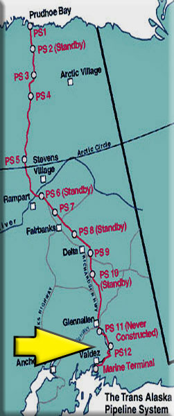
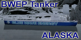
BWEP Southern Alaska Pipeline Segment - By Brad Allen The most complex single section of the Trans-Alaska pipeline is the Valdez Marine Terminal because it involves the transfer of oil from the pipeline to seagoing oil tankers. Located at the southern end of the pipeline, the Terminal has four tanker berths [and space for a fifth] plus holding tanks that have a capacity equal to that of the pipeline, allowing the whole pipeline to be emptied if required. To allay concerns from local fishermen, the tankers use a ballast-water filtration system that removes oil from their ballast water so it is not released into Prince William Sound. In 1989, the tanker Exxon Valdez struck Bligh Reef and spilled 10.8m US galls /260,000 bbl / 37,000Mt of North Slope crude oil into the Sound with devastating consequences to wildlife. It is considered to be one of the worst human-caused disasters. More recently, in 2017, approx.100 galls of crude oil were accidentally spilled during the annual pipe leak test. Fortunately, in the virtual world of RTMM oil spills and leaks could never happen……..or could they? Check the ‘BWEP Dispatches’ section further down on this page to find out. RTMM has recreated a similarly complex terminal for its BWEP pipeline and added marine traffic to the Sound in the form of tankers arriving and departing. The Terminal is the highlight of this scenery package. If you’re looking to complete the RTMM ships list, then a visit is suggested.
To download the BWEP Southern Alaska PAVD Default-B Segment, click the ‘ZIP’ button below:
To download the BWEP Southern Alaska PAVD Payware-A Segment, click the ‘ZIP’ button below:
RTMM Addons for this area available on RTMM Scenery Page: Another major scenery feature included in this package are The Observation Towers at Valdez. RTMM has recreated and positioned these in much the same way as in real life to ‘control’ the ‘virtual’ shipping traffic. Click the link to learn more and for a map showing their locations. A supporting flight plan is also available. * For NonV5 Prepar3D users: Airports with the red asterisk * must be 'disabled' in ORBX Global Vector Airport Elevation Corrections (AEC) to display correctly. V5 users can disregard this. |
|
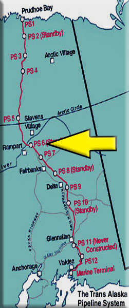
BWEP Richardson Highway Segment - by Brad Allen - (Refreshed 12.04.2019 ) ORBX Global Base/Vector Needed A pack trail from the port at Valdez to Eagle City on the Yukon River, a distance of about 409 miles (660 km), was built in 1898 by the U.S. Army to provide an "all-American" route to the Klondike gold fields. After the rush ended, the Army kept the trail open in order to connect its posts at Fort Liscum, in Valdez, and Fort Egbert, in Eagle. The Fairbanks gold rush in 1902 and the construction of the Washington-Alaska Military Cable and Telegraph System [WAMCATS] along the trail in 1903, made the Valdez-to-Eagle trail, as it later became known, one of the most important access routes to the Alaska Interior, so in 1910, the Alaska Road Commission [ARC] upgraded it to a wagon road. The head of the project was U.S. Army General Wilds P. Richardson, after whom the highway was later named. During the construction, the government hired failed gold prospectors as well as regular construction workers and the Richardson Highway became Alaska’s first road. Gold stampeders started up the trail again in 1902, this time headed for Fairbanks, the site of a big gold strike. The ARC updated the road to automobile standards in the 1920s and it was hard-surfaced in 1957. The Richardson Highway is a very scenic route, offering magnificent views of the Chugach Mountains and Alaska Range and some of the best glacier viewing in Alaska. To download the Richardson Highway Segment, click the ‘ZIP’ button below:
Airports enhanced for BWEP that are located in this segment:
RTMM Addons for this area available on RTMM Scenery Page: * For NonV5 Prepar3D users: Airports with the red asterisk * must be 'disabled' in ORBX Global Vector Airport Elevation Corrections (AEC) to display correctly. V5 users can disregard this. |
|
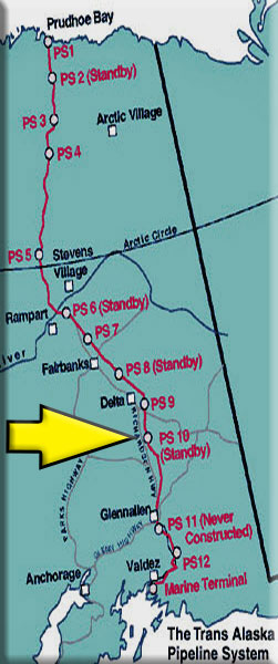
BWEP The Interior Pipeline Segment - by Brad Allen - (Refreshed 07.28.2020) 'Interior Alaska' is so vast it seems limitless and stretching 414mi/666km across this foreboding land is a single gravel road from Fairbanks to Deadhorse and the oilfields of Prudhoe Bay. Construction of the North Slope haul road that parallels the pipeline began in 1973 and includes the first bridge to span the Yukon River. This mostly gravel highway travels through rolling forested hills, across the Yukon River and the Arctic Circle. It winds its way through the rugged Brooks Range and over the North Slope to the Arctic Ocean. Along most of its length, you’ll see no restaurants, no gift shops, no service stations — just forest, tundra, and mountains, crossed by double 'ribbons' of road and pipe. If you’ve watched the TV show "Ice Road Truckers", then you’re familiar with this dangerous and challenging ribbon of gravel that passes over and through some of Alaska’s most remote wilderness. How remote is it up here? There are only three very small towns along the way. For many miles the Trans-Alaska pipeline is the driver’s only companion. From the midpoint (the town of Coldfoot) to the end of the road, there is nothing but wilderness. In fact, you won’t find services of any kind over the last 240-mile stretch. In other words, if you love lonely roads, this is the drive for you. But not many non-commercial travelers take this route, it is predominantly trucks and big rigs hauling heavy gear. Don't forget that it gets dangerously cold here in the winter. In fact, the highest and lowest recorded temperatures in Alaska are both in the Interior. The highest is 100 °F (37.8 °C) in Fort Yukon on 27 June 1915 and is −80 °F (−62.2 °C) in Prospect Creek on 23 January 1971. To download The Interior Pipeline Segment, click on the ‘ZIP’ button below:
Airports enhanced for BWEP that are located in this segment:
RTMM Addons for this area available on RTMM Scenery Page: |
|
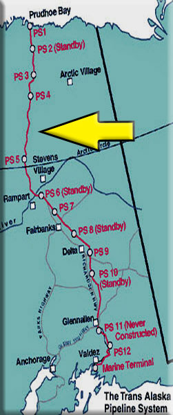
BWEP - Dalton Highway Pipeline Segment (V2) - by Brad Allen (Refreshed 12.06.2019) Those who brave the Dalton Highway by car or truck will travel an uncomfortable roadbed of dirt, loose gravel and rocks. It cuts through boreal forests, along endless stretches of wilderness, prairie and permafrost, across the Arctic Circle, up and down the unforgiving passes of the Brooks Range and deep into the reaches of an arctic coastal plain. The Highway 'boasts', if that is the right word, the longest stretch of unserviced road on the North American continent. For 240mi/386km, from Coldfoot to Deadhorse, there is nothing. There are no gas stations, no flush toilets, no auto body shops, no restaurants, no medical facilities, no hotels, no motels, no state police posts, no cellphone service, no internet connections, no radio reception — nothing at all. Nothing but the thoroughfare itself. The one thing that you will find, guaranteed, is that it is a spine-snapping seven-hour drive, if you're lucky! Because of the absolute desolation, the discomfort it offers and the risk-taking involved, there is no good reason for a [sane] non-professional driver to drive the Dalton Highway. To download the Dalton Highway Segment, click the ‘ZIP’ button below:
Airports enhanced for BWEP that are located in this segment:
RTMM Addons for this area available on RTMM Scenery Page: * For NonV5 Prepar3D users: Airports with the red asterisk * must be 'disabled' in ORBX Global Vector Airport Elevation Corrections (AEC) to display correctly. V5 users can disregard this. |
|
BWEP - Gates of the Arctic - by Brad Allen - (Added 12.06.2019) ORBX Global Base/Vector Needed for V3.5-V4.5 Not needed for Prepar3d V5 While the Brooks Range covers some of Alaska’s coldest and most isolated and intense terrain, the traces of human activity here are notable. The Trans Alaska Pipeline System and Dalton Highway (or Haul Road) traverse north-south through the range connecting the oil-busy North Slope to Fairbanks and beyond (the road’s elevation peaks at Atigun Pass, elevation ~4,700 feet); the Red Dog Mine, set in the western part of Brooks Range, is the world’s largest zinc mine; and the tiny community of Coldfoot, just north of the Arctic Circle, is pretty much the last-chance-for-gas, food and a warm bed for most travelers heading north until they clear the Range and reach Prudhoe Bay and Deadhorse. During the late 1960's, Alaska was abuzz with news of oil discoveries along the Arctic coastline and on the immense tundra landscape north of the Brooks Range known as the North Slope. Alaska’s Department of Highways attempted to open the Arctic oil fields to truck travel by punching a rough road through the Brooks Range—and through the area that would later be designated as Gates of the Arctic National Park and Preserve. When the Trans-Alaska Oil Pipeline traversed this region, jobs were created but the impact on the fragile eco-system can still be felt today. And even though the land is still protected, there are interested party's that want to open up the Arctic region to even more drilling for fossil fuel resource discovery and collection. As a result, the nation is now confronted with a great irony: The Alaska Pipeline was approved and built because the nation needed the oil following the 1973 Arab Oil Embargo, but decades later, when the U.S. has abundant supplies of cheap oil and natural gas, it is the pipeline itself that demands ever-more petroleum. When the pipeline shipped more than two million barrels per day at its peak in 1988, the oil took only four days to make the 800 mile transit from Prudhoe Bay to Valdez. Today, with a flow of roughly 500,000 barrels per day, the transit takes 15 days. That's because the pipeline is now pushing far less oil than engineers in the early 1970's designed the system to operate. And the oil that arrives in Valdez is colder now because it travels so slowly and that causes the operations all along TAPS to be affected. Pumping stations now must recirculate the oil to add more heat to it. That cost's extra money and time. Large circulating cogs called "Pigs" travel the length of the pipeline to keep the inside of the pipes clean and those are showing up with more and more accumulated wax. A by-product of the colder crude oil. That also takes on additional time and expense to clean and remove. These issues help to drive the perverse impetus to start drilling for even more oil in these unparalleled Alaskan wilderness areas. And this gives some the belief that this idea will keep the U.S. pumping, transporting, and burning oil for decades to come, even as the world rapidly warms. The pipeline not only encourages more production by its very presence, but keeping it open demands expanding Arctic drilling to outpace declines from legacy oil fields. Environmentalists and climate scientists contend that now is precisely the moment when the nation should be pivoting away from a major expansion of oil drilling. The rapid growth of wind and solar power, an emerging electric vehicle industry and increasing alarm over climate change are all valid arguments for keeping Arctic oil in the ground. Alaska has warmed twice as fast as the rest of the planet with the average annual temperature increasing by 3 degrees Fahrenheit and winter temperatures rising by a far scarier 6 degrees. Arctic summer sea ice has lost 75 percent of its volume and half its extent since 1980. While the fate of the Arctic Refuge remains uncertain, the endurance of the Alaska Pipeline may very well ensure that drilling throughout the U.S. Arctic will continue in earnest. This segment of the BWEP Project starts out at Prospect Creek and ends near Galbraith Lake Airport. It travels through beautiful sections of the Brooks Range along rivers, valley's and over treacherous mountain passes. Airports enhanced for BWEP that are located in this segment:
* For NonV5 Prepar3D users: Airports with the red asterisk * must be 'disabled' in ORBX Global Vector Airport Elevation Corrections (AEC) to display correctly. V5 users can disregard this. |
 |
BWEP - North Slope - by Brad Allen - ORBX Global Base/Vector Needed for V3.5-V4.5 Not needed for Prepar3d V5 (Refreshed 02.17.2020) The far northern reaches of Alaska are truly one of the reasons why this state is nicknamed "The Last Frontier" and the North Slope is like no other place on earth. It conveys a silence, beauty and refuge like no other. The land's topography is characterized by vast, uninhabited gently rolling tundra and wild, desolate and quiet landscapes where seemingly endless vistas stretch out until it ends at the sea. The breathtaking beauty of Alaska sometimes hides the fact that its landscape is dangerous and unforgiving - even in the warmer months. Its winters can be incredibly harsh, especially so for those who live and work in the state's most desolate areas. Located at the northernmost reaches of the Pan American Highway, Deadhorse and Prudhoe Bay sit 3mi/5km apart on the coast of the Arctic Ocean at the heart of Alaska’s oil patch. Deadhorse is more of a work camp than a town in the traditional sense. It was established to support oil development in the surrounding area. Most buildings are the modular, pre-fabricated type, situated on gravel pads on tundra bog. Virtually all the businesses are engaged in oil field or pipeline support such as drilling, construction and maintenance. The North Slope region contains: the National Petroleum Reserve in Alaska [NPRA] - the largest tract of undisturbed public land in the United States and the Prudhoe Bay Oil Field – the largest oil field in North America, discovered in 1968, as well as the Kuparuk River Oil Field, discovered in 1969, which is the second largest oil field in North America. The region also includes the Arctic National Wildlife Refuge, which has been the center of great controversy because of the possibility of petroleum drilling within its boundaries. The Trans-Alaska Pipeline System [TAPS] begins here and makes it way south for 800 miles to its terminus in Valdez. Airports enhanced for BWEP that are located in this segment:
* For NonV5 Prepar3D users: Airports with the red asterisk * must be 'disabled' in ORBX Global Vector Airport Elevation Corrections (AEC) to display correctly. V5 users can disregard this.
|
| Back to Top | |
| Pipeline Flight Plans Pipeline and "Along the Way" Locations | |||||||||||||||
As the construction continues, we are creating flight plans that will take you from "Here to There" within the BWEP pipeline project. Click on the zip button to download the flight set you want to fly.
| |||||||||||||||
| Back to Top | |||||||||||||||
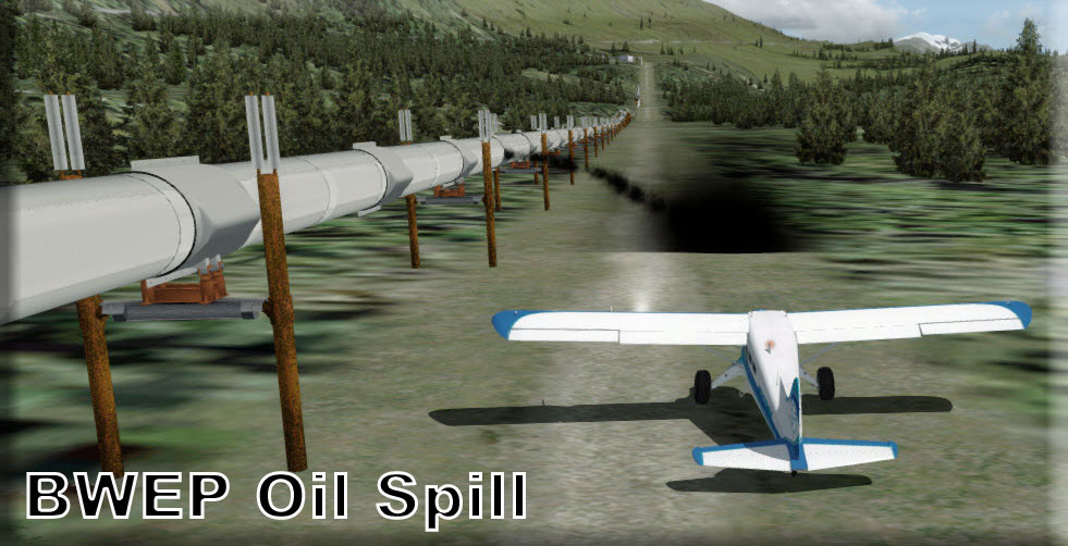
| BWEP Dispatches | |||||||||||||||||||||||||||||||||||||||||||||||||||
Pipelines must be regularly inspected for any possible problems. Inspection is done with VLL flights (Very Low Level). Altitudes of 200 to 300 feet above the ground (pipeline) are recommended for a thorough inspection. You will need to fly slowly, always mindful of the terrain ahead while keeping watch over the integrity of the pipeline below. Also, as a community service, we offer our planes to help with medical emergencies that may happen at outlying properties. BWEP is a good community partner. INSTALLATION: Assuming you have downloaded BWEP and the latest libraries, then you only need the RTMM Automated Dispatcher.zip. This utility gives you BOTH the BWEP and Medical Dispatches. You can download the latest RTMM Automated Dispatch.zip by going HERE. NOTAMS for Automated Dispatches
|
|||||||||||||||||||||||||||||||||||||||||||||||||||
| |||||||||||||||||||||||||||||||||||||||||||||||||||
| Back to Top | |||||||||||||||||||||||||||||||||||||||||||||||||||
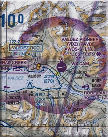
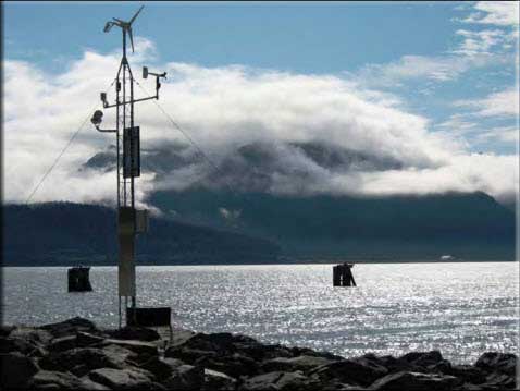
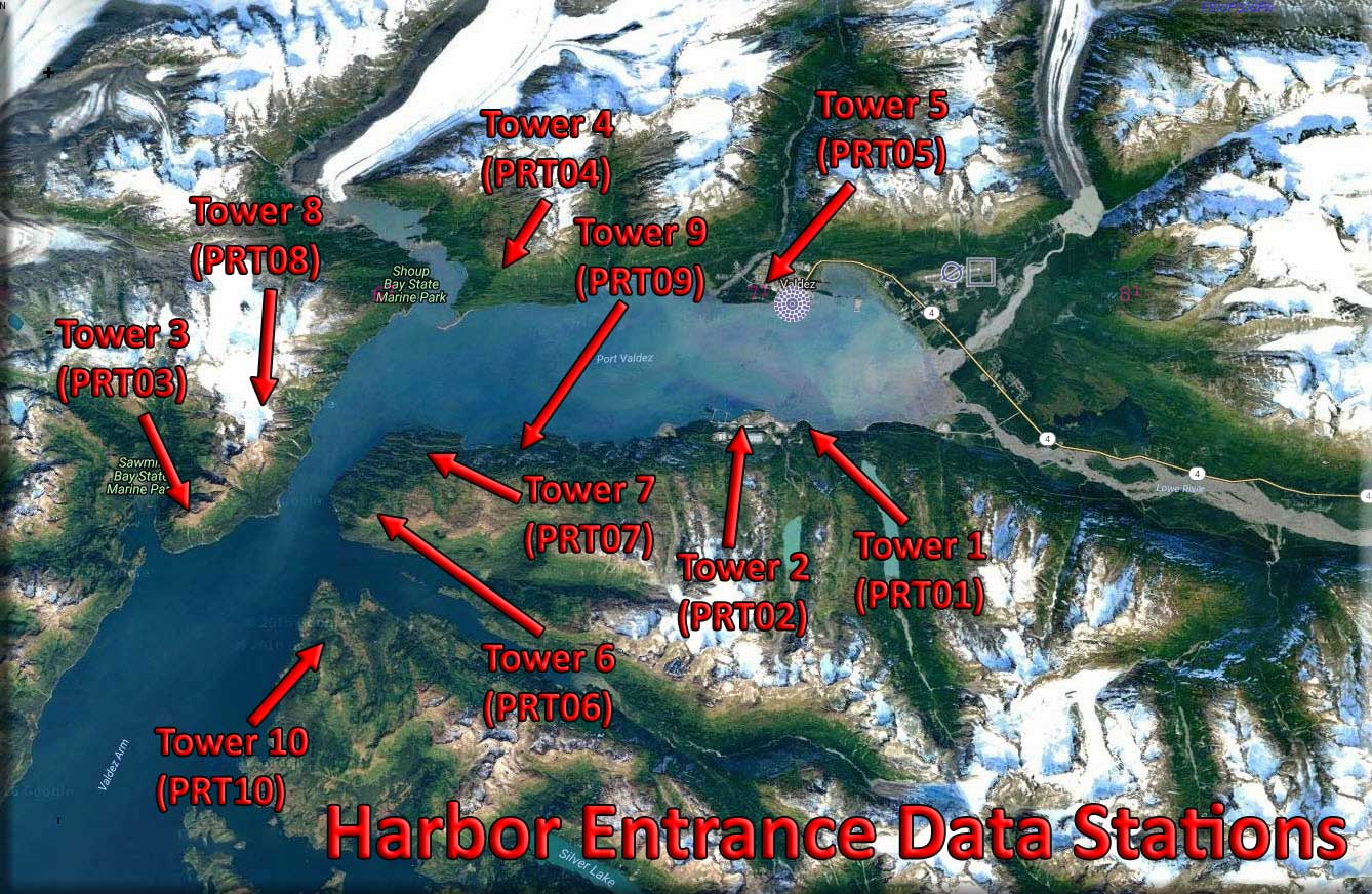
| Observation Towers - Harbor Entrance Data Stations | |
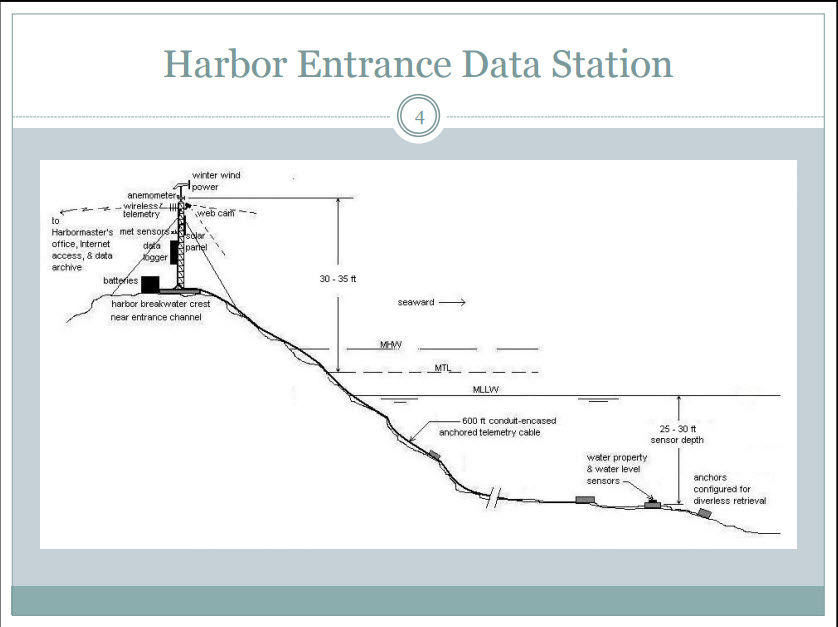
For Shipping Traffic Safety, multiple "Harbor Entrance Data Stations" have been placed strategically around Valdez harbor to help monitor and direct shipping traffic. RTMM's rendition displays ten of these data stations in their actual position around the harbor. These are accessible only by Helicopter but can be seen with a "low/slow" fly over in a fixed wing aircraft. The BWEP-SAK (First Leg) program comes with Way Point Data for each of these. You can put these way points into your GPS and the GPS will guide you to the Data Station. (When you download BWEP Airports, the way points for all towers are included).
Click on above image to ENLARGE.
|
|
| Back to Top | |
| BWEP REPAINTS | |
These are the BWEP Repaints by Klaus Tröppner. Click on the button below to select repaint category.
|
|
| Back to Top | |


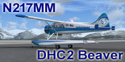
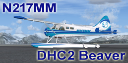
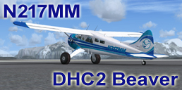
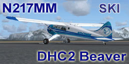
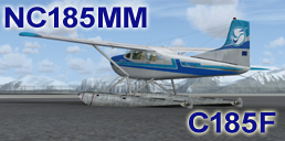
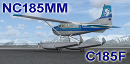
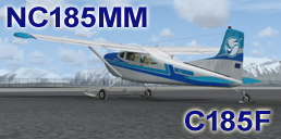
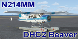
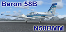
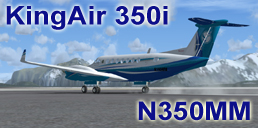
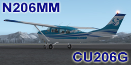
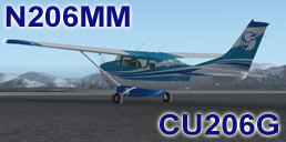
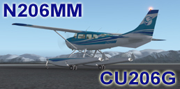
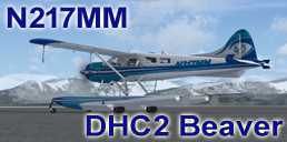
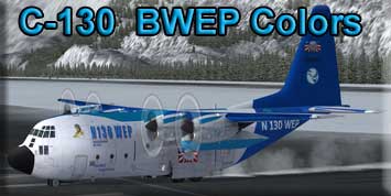
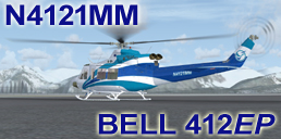
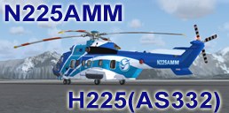
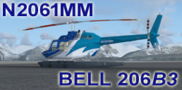
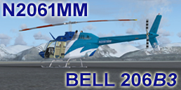
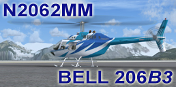
| Fixed Wing Aircraft - Repaints by Klaus Tröppner | ||||||||||||||||||||||||||||||||||||||
| Click Image to Download | ||||||||||||||||||||||||||||||||||||||
| ||||||||||||||||||||||||||||||||||||||
| Back to Top. . . . . . . Top of Repaints | ||||||||||||||||||||||||||||||||||||||
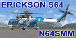
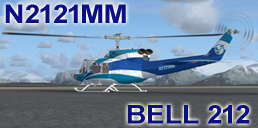
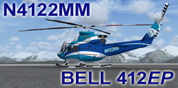
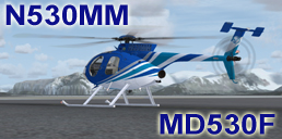
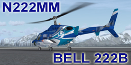
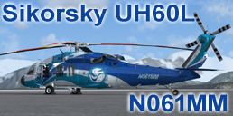
| Helicopters - Repaints by Klaus Tröppner | ||||||||||||||||||||||||
| Click Image to Download | ||||||||||||||||||||||||
| ||||||||||||||||||||||||
| Back to Top . . . . . . . Top of Repaints | ||||||||||||||||||||||||

| Boats and Ships - Repaints by Klaus Tröppner | ||||||
| Click Image to Download | ||||||
| ||||||
| Back to Top . . . . . . . Top of Repaints | ||||||
/smit_rotterdam.jpg)
| Reference Links | |
Brad Allen, BWEP Creator at the Real Alaska Pipeline --- Click to Enlarge
|
|
|
|
| Back to Top | |
 What is TAPS
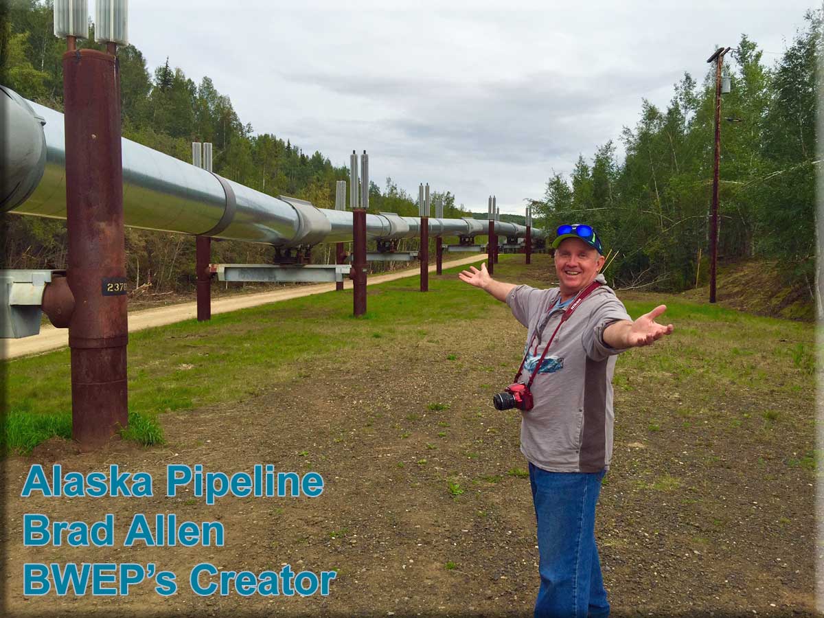
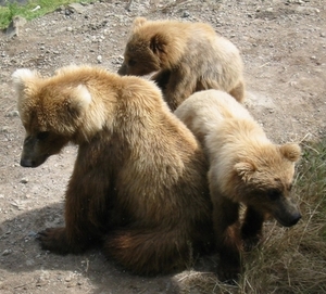
| Bear Safety in Alaska | ||
|
Here are some things to keep in mind when you are traveling in bear country:
|
||
| Back to Top | ||
 If you're in Alaska, you are probably in bear country!